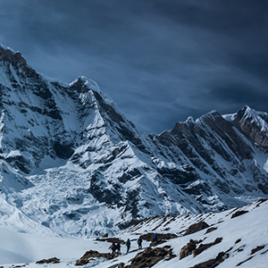
I am an advisor and investor in a local Alberta company that has made a significant investment in developing technology and expertise that is Industry leading in providing actionable intelligence in assisting in wildfire management. We concentrate on only fire-mapping. Our technology assists in reducing carbon emissions and has the potential of saving lives, wildlife and infrastructure.
We can easily map a million acres per night and can detect burning embers -- even if they're buried###-###-#### x 10 cm in size from 10,000 feet at 200 MPH. We provide quality, GPS-referenced thermal mapping of massive land areas quickly and cost-effectively. Actionable information is in the hands of the firefighting crew (Incident commander) before dawn even before we land.
Last year for British Columbia, Verimap covered 132 fires (64 unique) over a one month period in 2021, scanning hundreds of thousands of hectares of burning land. The smallest fire perimeters were less than 100 ha while the largest fires exceeded 90,000 ha. Many of these fires in BC were concentrated within a 250km radius of our base in Kelowna, which allowed us to scan an average of 7 fires a night. The most fires we fully scanned in a single night was 12..
We help Canadian provinces in these areas. Working on expanding to the United States.
1. Pre-Wildfire (Early Detection) – E.g., hot spot locations after lightning strikes and campfire abandonments
2. During Wildfire (Mapping); Perimeter mapping, actionable intelligence to incident commanders by dawn.
3. Post-Wildfire (Analysis)- E.g., for learning, analysis, and planning for the future.
Reach out for more questions. This is in incredible opportunity to be in rapidly growing wildfire industry,


36 views
1 comment
Sign in to see all replies.
Create an account.